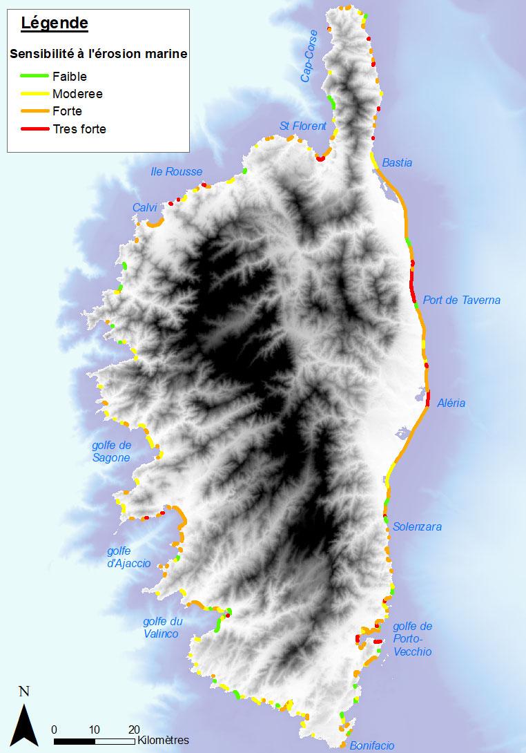
Example of the 1:25,000 map of the sensitivity of the loose coast to coastal erosion (Corsica, 2022)
© BRGM
The need
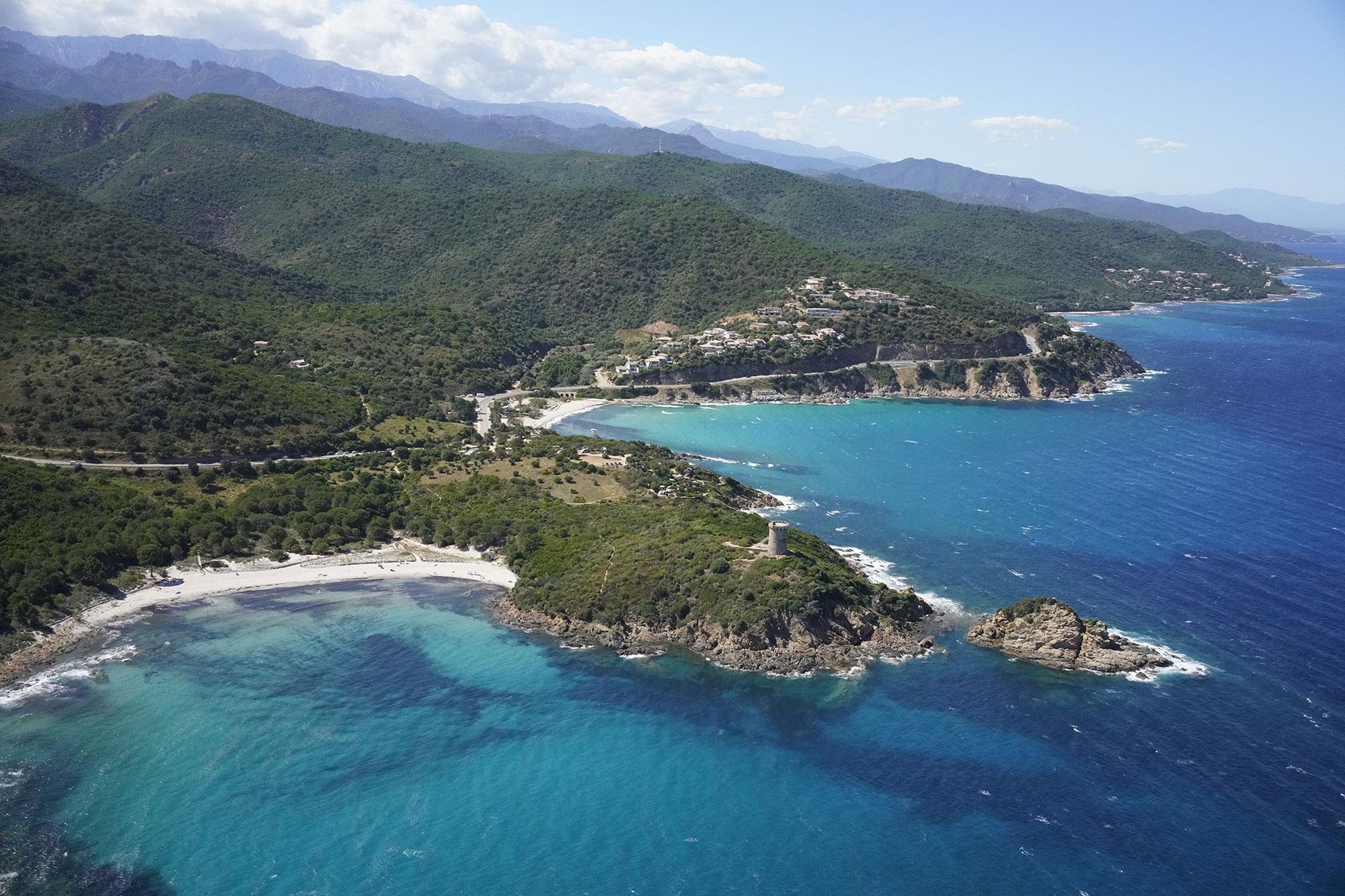
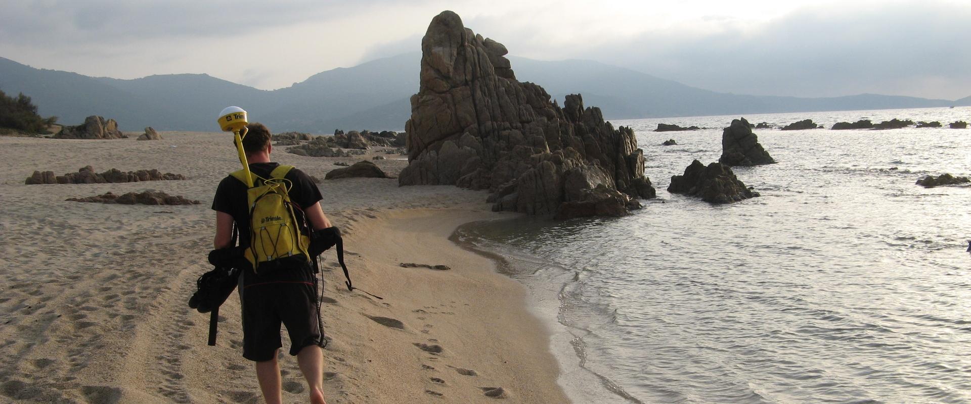
While the loose coast of Corsica (~ 215 km) has been the subject of several BRGM studies for just over 20 years as part of the Corsican Coastal Observation Network (ROL), the rocky coast (~ 680 km), and more specifically its exposure to coastal phenomena, remains poorly documented. An initial geomorphological assessment of the rocky coast was therefore carried out, followed by updating of knowledge of the loose coast. The aim of the study was to define and implement a semi-automatic method for homogeneous and objective mapping of sensitivity to coastal erosion, based on the data available for the Corsican coastline.
The results
Characterisation of sensitivity to marine erosion is based on a cross-analysis of susceptibility to marine erosion (inherent characteristics or predisposing factors) and vulnerability to storm waves (influence of external agents: wave conditions for a 100-year event). Using an iterative scoring method adjusted by expert appraisal, the cross-matching of susceptibility and vulnerability has made it possible to define four levels of sensitivity to coastal erosion (low, moderate, high and very high). On the loose coast, around 60% of the sites were found to be highly to very highly sensitive. These are mainly areas where the dunes have been urbanised (Eastern plain, eastern side of Cap-Corse, Balagne, Gulf of Ajaccio), with the exception of the sandy pocket beaches of Porto-Vecchio, which are more natural. On the rocky coast, 35% of the coastline (with a slope greater than 35°) is highly to very highly sensitive, mainly around Bonifacio, Cap-Corse and Calvi.

We wanted to enhance our knowledge of the risk of coastal erosion in Corsica. Thanks to BRGM's technical and scientific expertise, we have determined and weighted indicators designed to produce a geomorphological diagnosis for both loose and rocky coasts, enabling us to define the sensitivity of coasts to erosion. By cross-referencing these data with the types of coastal areas we have defined, we will be able to identify priority areas based on the issues at stake.
Using the results
The resulting maps are used by the OEC to prioritise coastal areas by cross-referencing human, economic and environmental issues in order to determine management methods, as set out in the STCGITC report (Bezert, 2019): monitoring and surveillance, inaction, active control with soft or hard solutions, spatial reorganisation. It will also make it possible to adjust the monitoring of the ROL according to the latest knowledge and the need to improve our understanding while implementing the management methods chosen. Lastly, it represents a knowledge base that will prove useful for the application of the Climate and Resilience Act (Act No. 2021-1104 of 22 August 2021).
The partners
- Corsican Environment Office


