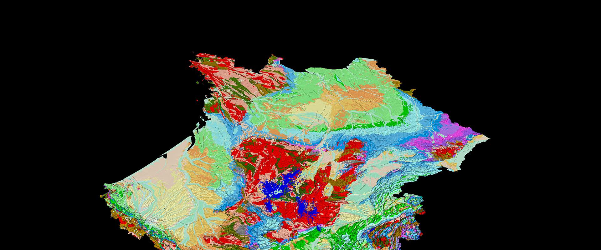
The history of our planet is punctuated by many events: volcanic eruptions, the formation of mountains, erosion, the accumulation of sediments, climate change, sea level fluctuations, the emergence of species, major biological crises and even falling asteroids.
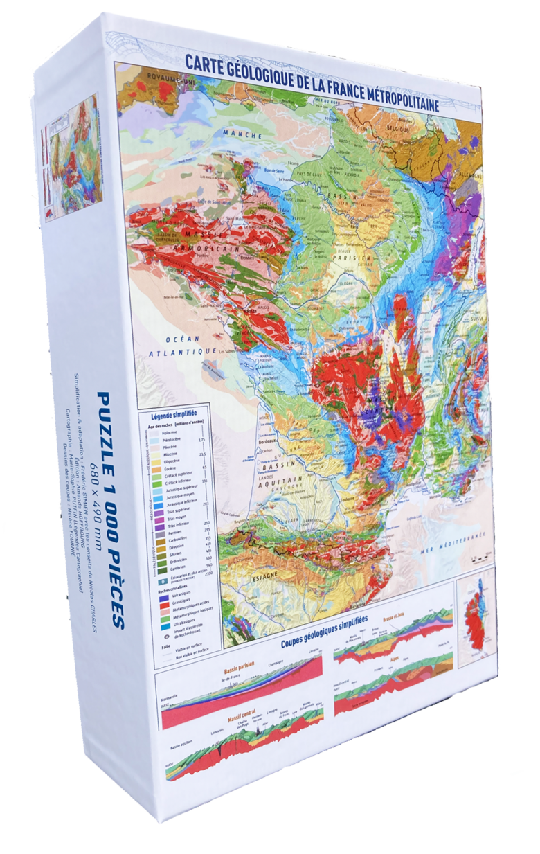
To help the general public understand this long and chequered history, BRGM has produced a geological map in the form of a jigsaw puzzle, which will take you all over France – and through geological epochs!
Geological maps are complex documents that require specialist knowledge to read. The jigsaw puzzle makes the challenge more enjoyable.
The oldest rocks in France
Of course, our country has remarkable geological diversity. The oldest rocks, around two billion years old, can be found in outcrops from Brittany to Normandy, including the Channel Islands.
The next “old” remains have been dated at between 600 and 250 million years ago. These rocks can be seen in the so-called “ancient” massifs, which form the “basement” (Armorican Massif, Massif Central, heart of the Pyrenees, western part of Corsica, the Maures Massif, certain parts of the Alps, Vosges and Ardennes).
Colours of rock, colours of time
These rocks are mainly represented in “warm” hues (red, orange, pink), historic colours that evoke the fire of the original magmas, and dark hues (brown, green and grey) to illustrate ancient sedimentary rocks that have been metamorphized to different extents.
There is also a brighter green that corresponds to the remains of an ancient ocean that disappeared with the collision of the tectonic plates. These shocks led to the formation of granites and their transformation to form the basement. This means that there are rocks that were deposited on the surface while others were in the process of melting deep within the Earth.
The great sedimentary basins turned topsy turvy by the Pyrenees and the Alps
In chronological terms, this is followed by the major sedimentary basins, notably in Aquitaine, and over a large part of the centre of the country, as well as in the east and north, extending into England. They all have the same succession of purple, blue, green, orange and yellow hues.
The south-eastern basin has the same series of colours, but in a more disordered fashion due to the tectonic upheavals caused by the Pyrenees and the Alps. In fact, these mountains, which are still young in geological time, have allowed the ancient bedrock to reappear.
Following the compression that gave rise to these mountain ranges, the Earth's crust stretched, mainly during the Oligocene (34 to 23 million years ago), creating collapse trenches in the Massif Central (Limagnes and Forez plain), along the Saône-Rhône axis (Bresse) and in the Alsace plain.
Other compression phases followed, and contemporary earthquakes from the Pyrenees to the Alps show that the Earth’s crust continues to move.
Discover the jigsaw puzzle of the geological map of France, available from BRGM Éditions
A number of significant improvements have been made over the previous version. The box is more compact, making it easier to transport. The 1,000 pieces are all different, and come in a cloth bag (so they don't get lost), and there are no longer any large white areas.
Thanks to the cross-sections, it's also much easier to imagine the organisation of our basement in three dimensions. There is also a text to help you understand the document.
Another new feature is that the legends are now much easier to read, as they have been adapted to this new version of the 26-colour visual image. The background has also been enriched with many names of cities, rivers and natural regions, all of which owe their uniqueness to geology!
A great idea for a gift or which you can keep for yourself. An A4 image is supplied in the box to make it easier to assemble. A fun way to learn about the geology of our beautiful country. See for yourself!
68 x 49 cm - 1,000 pieces in a cloth bag
Ref. PUZZLE3
€25.00 INCL. OF VAT


