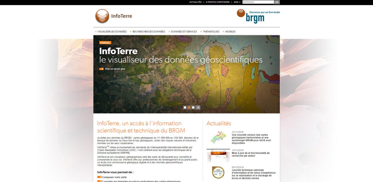
Home page of the InfoTerre website
© BRGM
InfoTerre, providing access to BRGM's scientific and technical information
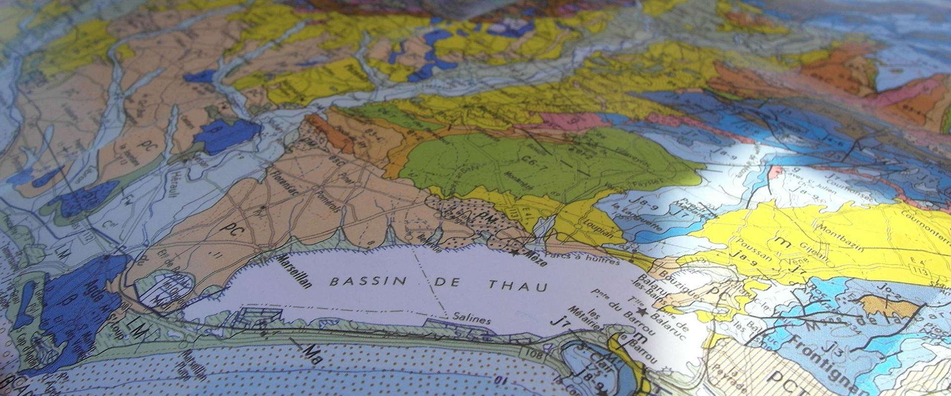
InfoTerre lets users access a range of BRGM data: geological maps from scales of 1:1,000,000 to 1:50,000, Subsurface Data Base (BSS) files and geological logs, maps of natural and industrial risks, groundwater data, etc.
InfoTerre adheres to all the international interoperability standards published by the Open Geospatial Consortium (OGC). It meets the technical requirements of the European INSPIRE Directive.
InfoTerre and its map viewer are tools that enable users to learn about and understand the subsurface. InfoTerre gives spatial-planning professionals and the general public access to digital geological information and interoperable geoscience data.
Use InfoTerre to:
- Define the map you want to consult
- View the legends and explanatory notes linked to geological maps
- Download scientific data and reports
- Assess your exposure to natural and industrial risks
- Display details of a borehole
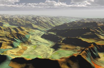
- Display geological maps in Google Earth using Géoservices

