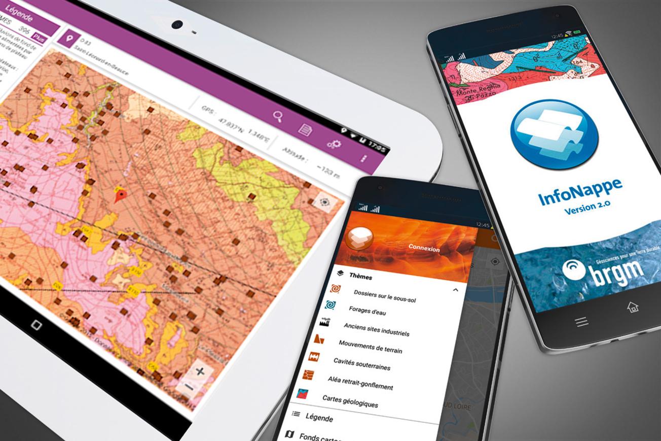
InfoNappe sends data on water table levels to your mobile phone via the access portal to ADES, the groundwaters databank.

InfoNappe mobile application.
© BRGM
InfoNappe sends data on water table levels, groundwater quality, etc. to your smartphone via the access portal to ADES, the groundwaters databank.
Georeferenced data on groundwater
InfoNappe displays a list or a map of water level measurement stations in your vicinity, within a predefined search radius or by sector.
Links are then provided to a graph showing water level trends together with statistical information (highest and lowest water levels).
This information can be accessed for every measurement station referenced in the ADES database.
The ADES file for each water point can also be obtained with the information on water level trends.
InfoNappe fields of application:
- Groundwater levels,
- Drought information,
- Hydrological situation reports.

