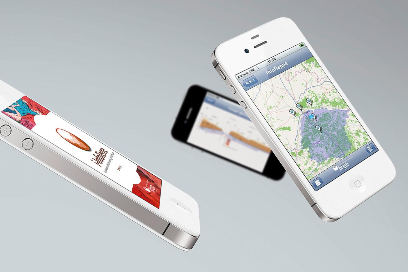
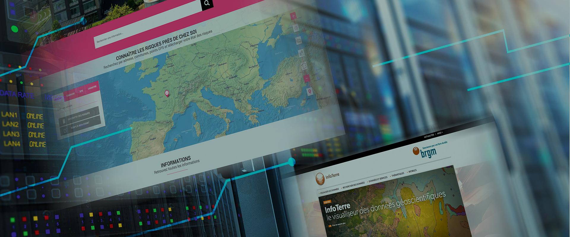
i-InfoTerre is the BRGM’s data viewer app for mobile phones. It offers a simplified version of the InfoTerre portal.

i-InfoTerre mobile application.
© BRGM
i-InfoTerre is a simplified version of the InfoTerre portal developed by BRGM to allow mobile phone access to its geoscientific data.
A simplified display app for the main geoscientific data
The i-InfoTerre app offers on-line access to different cartographic layers by theme:
- 1/50 000 geological maps and legends,
- sub-soil data files,
- groundwater abstraction wells,
- former industrial sites,
- ground instability,
- subterranean cavities,
- clay shrinking and swelling.
Different background maps are available: ortho-images, geological plans and maps.
Geolocated data
Positioning on the map is done manually, either with the current GPS position or by entering an address.
Its mobility makes i-InfoTerre is a valuable addition to BRGM services for delivering geo-environmental information. Immediate responses to questions about your environment:
- Are there any groundwater abstraction points in the vicinity and what is the abstraction depth?
- Are there any former industrial sites around the lot where I intend to build my house?
- Are there any subsidence risks to my home?
- Is there any ground instability in my area?
- What is the geological formation below me?

