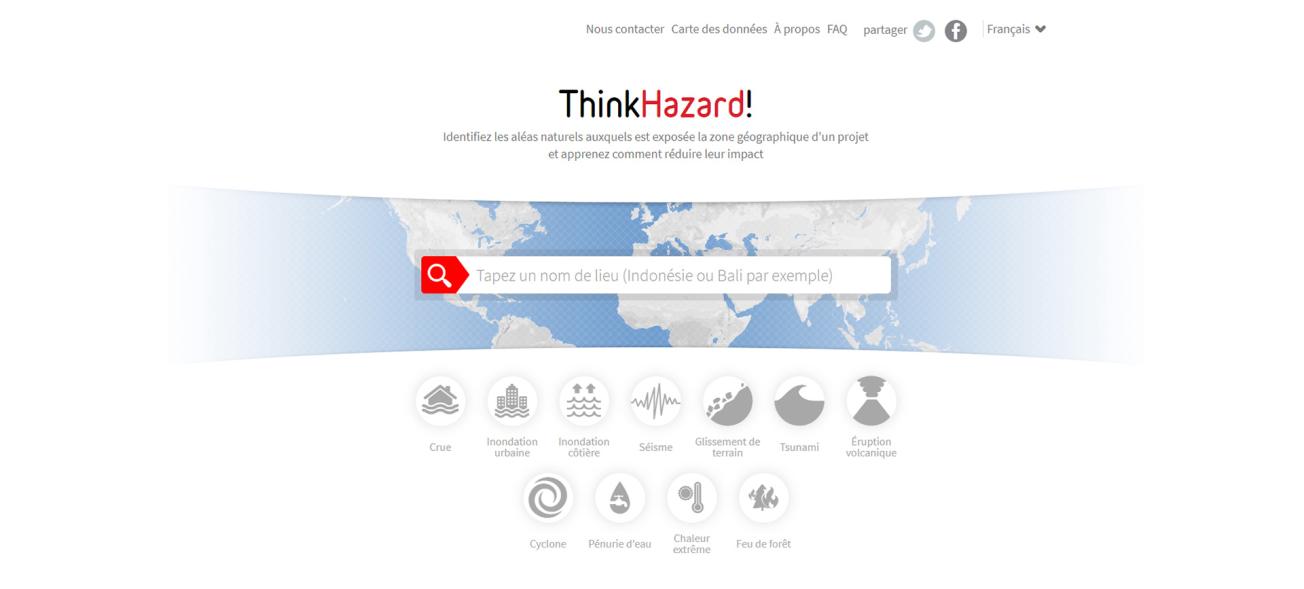
Home page of the "ThinkHazard!" web app.
© ThinkHazard
The "ThinkHazard!" web app, developed by the BRGM and its partners Deltares and CampToCamp for the World Bank, is designed to help understand natural risk impacts. It was officially presented on 19 May 2016 during the Understanding Risk forum in Venice, by the World Bank's Global Facility for Disaster Reduction and Recovery (GFDRR).
ThinkHazard! An application to help understand natural risk impacts
The ThinkHazard! web app is designed to provide non-specialists with simple, fast and concise information to understand the levels of natural risks and their associated impacts, at the local level and across the globe. The information provided will aid decision-making for investment and development projects (e.g. for health, education and energy infrastructure).
Via the project location (down to the scale of a local district), the web interface gives access to summary information on risk levels (earthquakes, river flooding, coastal flooding, tsunamis, cyclones, droughts, volcanic eruptions and landslips) together with relevant recommendations and regulatory information. The application draws on a database containing files on risk levels from studies whose results are in the public domain. The data processing is based on a systematic method that assesses the frequency of events liable to cause damage. The risk levels indicated range from high to very low and are displayed with a list of recommendations on taking risks into account in projects, as well as links to more detailed information.

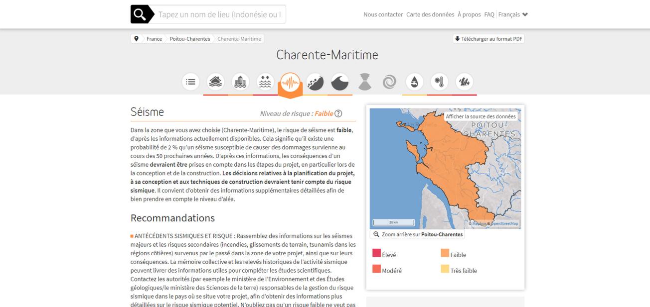
The application displays risk levels down to the scale of a local district (by département in France).
© ThinkHazard
Global coverage
The purpose of "ThinkHazard!" is to provide information on natural risks anywhere in the world, including in areas where local studies are hard to come by. The application uses global coverage files produced under programmes piloted by the World Bank and UNDP (GAR15 for example) or supplied by their partners. When more precise data from local studies are available, ThinkHazard! applies a results assessment procedure to provide the best possible information for the area in question.
The application is designed to incorporate new files as and when they become available. Updating existing data and adding new data is a priority for the GFDRR, so that the results and recommendations provided are continually improved.
Openness and transparency
ThinkHazard! can be used to send feedback on the relevance of results and to propose new data directly on line. IPCC indications on potential changes in risk levels given climate change are also supplied to help users design sustainable projects.
To promote widespread distribution of information on risks, ThinkHazard! uses open-source architecture and codes, and does not require a login to access the interface. The documentation (methodology report, description and origins of data files) can be accessed via the user interface. The World Bank is promoting widespread use of this online tool in order to generate results based on its "risks" database. It is also encouraging the development of applications derived from "ThinkHazard!" to cater for specific needs.


The example above shows seismic risk levels in the Charente Maritime département (western France), where earth tremors have been felt since the end of April.