MAYOBS missions off the coast of Mayotte in 2019
The need
Because the underwater volcanic eruption that began in May 2018 off the coast of Mayotte is still in progress, the French government – and in particular the Ministries in charge of Overseas Territories, the Environment, the Interior and Research (DIRMOM, DGOM, DGSCGC, DGPR, MOM, MI, MTE, MESRI) – has mobilised the French scientific community to improve knowledge of the phenomenon to aid prevention and monitoring.
The results
To meet the needs expressed by national and local authorities (Prefecture, municipalities) as well as national representatives (MPs and senators), and in consultation with the scientific community, BRGM has been pursuing its scientific work by carrying out expert missions to improve the monitoring of this phenomenon and the understanding of the resulting natural hazards. The main work carried out in 2019 on behalf of the Ministries in charge of the Environment, the Interior, Research and the Overseas Territories was as follows:
- Assessment of the probabilistic seismic hazard level,
- Development of seismic damage scenarios,
- Implementation of a rapid assessment tool for losses in the event of a major earthquake (SEISAID),
- Methodological testing of the use of magneto-telluric measurements for detecting magma bodies,
- Short-term actions planned for the second half of 2019 within the framework of ministerial inter-service meetings:
- Participation in setting up real-time, continuous volcanic and seismological monitoring (REVOSIMA),
- Participation in REVOSIMA's scientific and technical committee and regular reporting to the authorities,
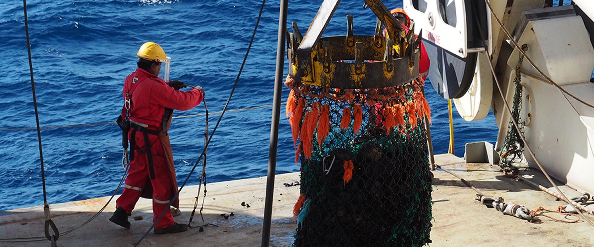
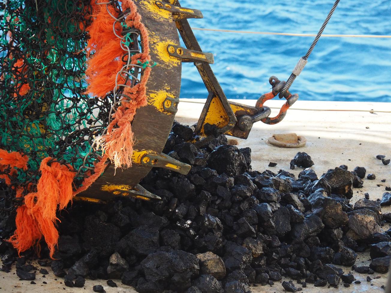
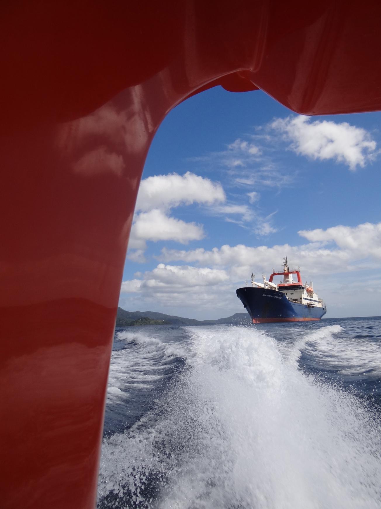
- Participation in the MAYOBS oceanographic campaigns and data processing,
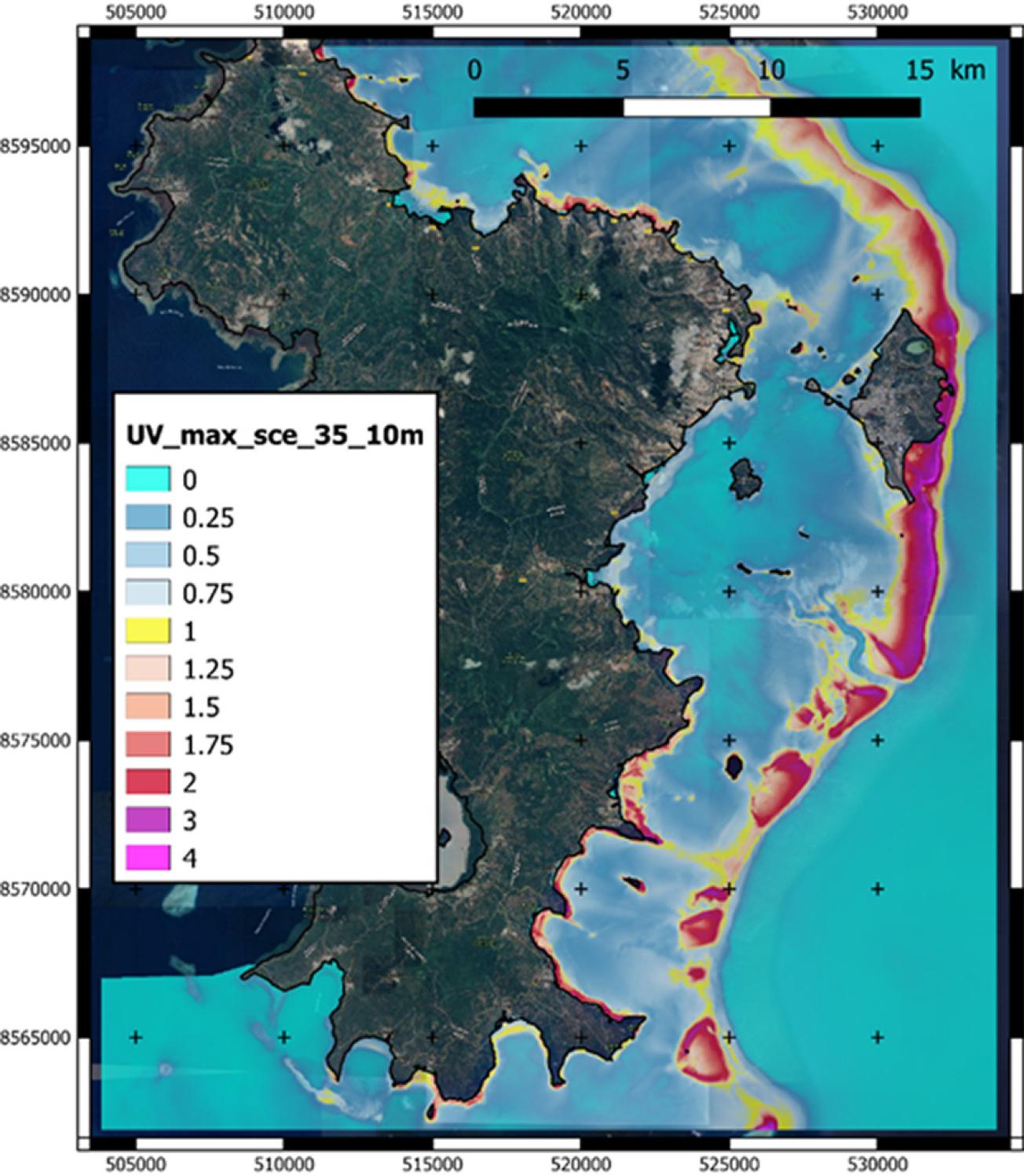
- Conducting studies of tsunami hazard scenarios and their impacts on land,
- Contribution to expert appraisals of marine slope and seabed stability,
- Participation in designing the preliminary conceptual geological model.
Using the results
BRGM's work, both on its own and through REVOSIMA, has been used by the authorities for crisis management and operational monitoring of the volcano, and to improve knowledge of seismic hazards.

