Climate change, which is driving changes in precipitation regimes and the ice melting cycle, but also in plant cover, already has a contributing role in triggering landslips.
Their consequences are being exacerbated by other factors, especially land use changes driven by demographic or economic pressures, which are increasing the exposure of people and property.
As part of the Safeland project, the BRGM focused in particular on estimating patterns and trends in hazards and potential risks.
Safeland, a European project conducted with 27 partners under the 7th FPRD, comprised eight components, from the determination of Europe’s most vulnerable zones to the definition of risk prevention methods.
Combining two modelling tools to study the Barcelonnette zone
The BRGM used two modelling tools in combination:
- Alice, focusing on zones at risk of land slips,
- Gardenia, a hydrological model.
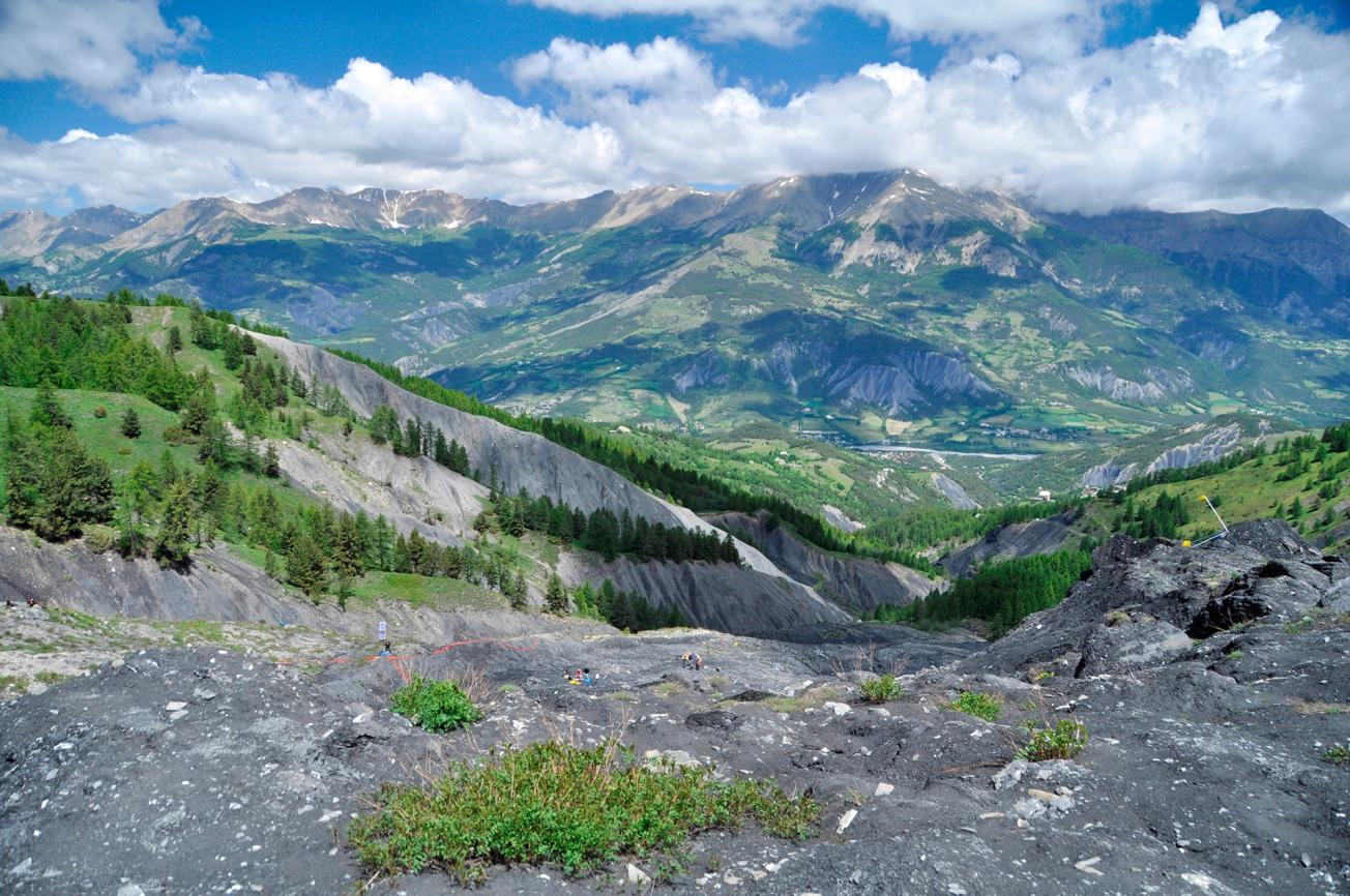
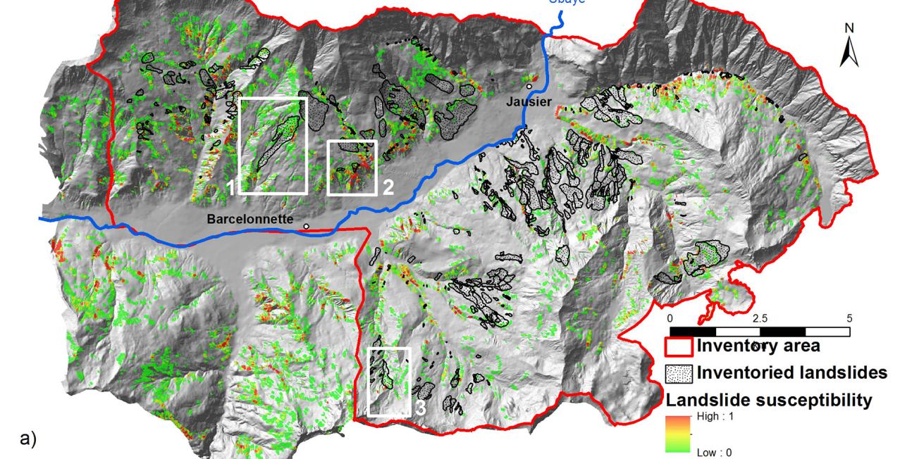
The researchers determined factors of vulnerability to land slips by linking climate time series to indicators of soil water content in the Barcelonnette study zone (Alpes-de-Haute-Provence, south-east France).
Model simulations were run with precipitation scenarios for 2020-2050 and 2070-2100 supplied by climatologists, in order to estimate possible variations in the extent of areas prone to land slips and the frequency of these movements.
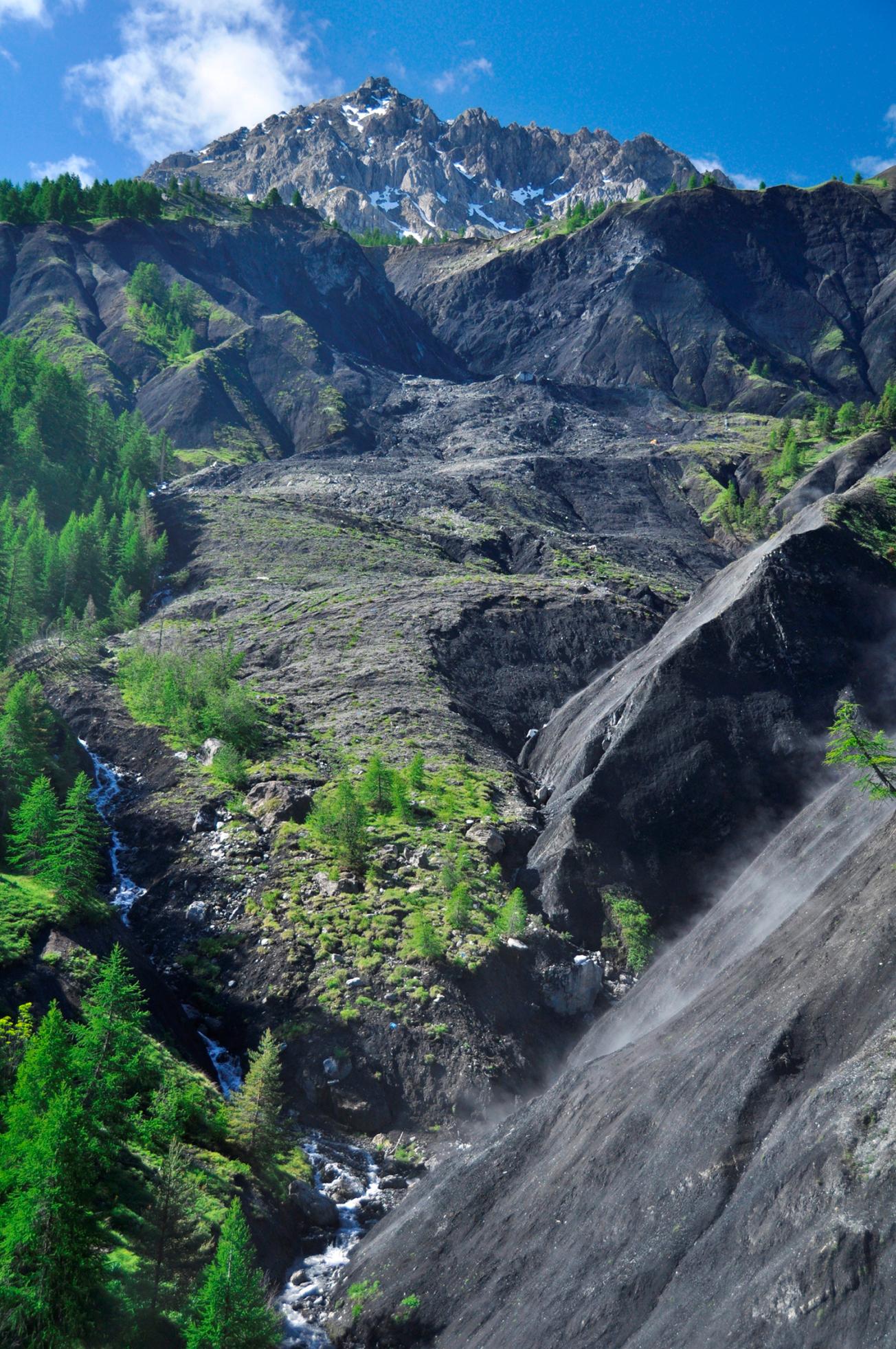
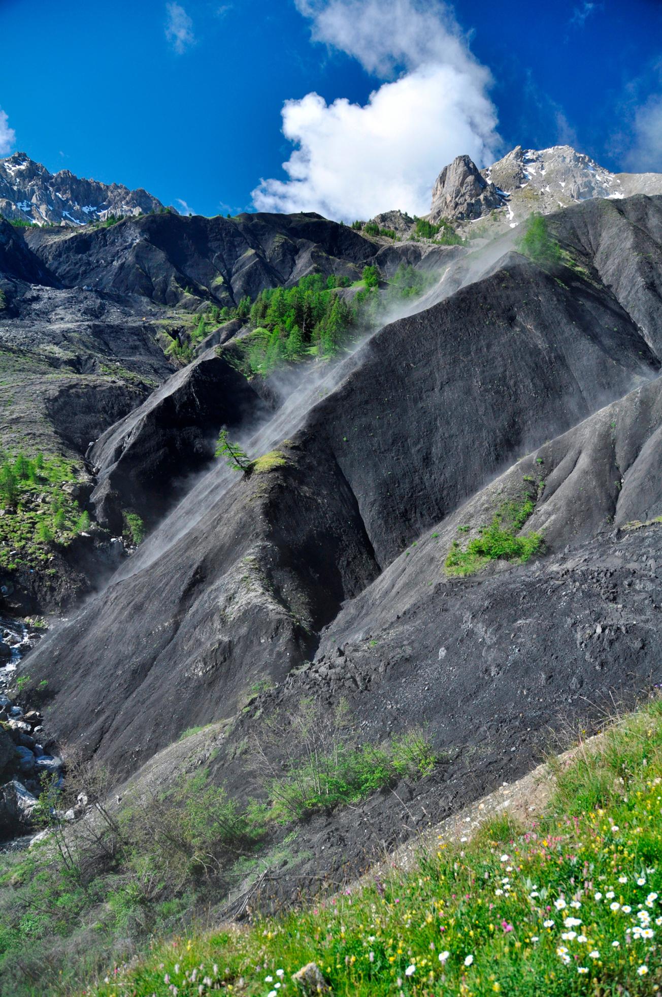
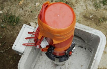
Landslide at Super Sauze
A methodology to support planning policy development
Current land-use data (buildings and road networks) combined with different future land-use scenarios were coupled with previous studies to assess risks and likely trends.
This methodology, designed to provide policy-making support for spatial planners, is being applied with the Pyrenees Climate Change Observatory and the ANR SAMCO project (on the resilience of societies exposed to risk impacts in mountain areas).

