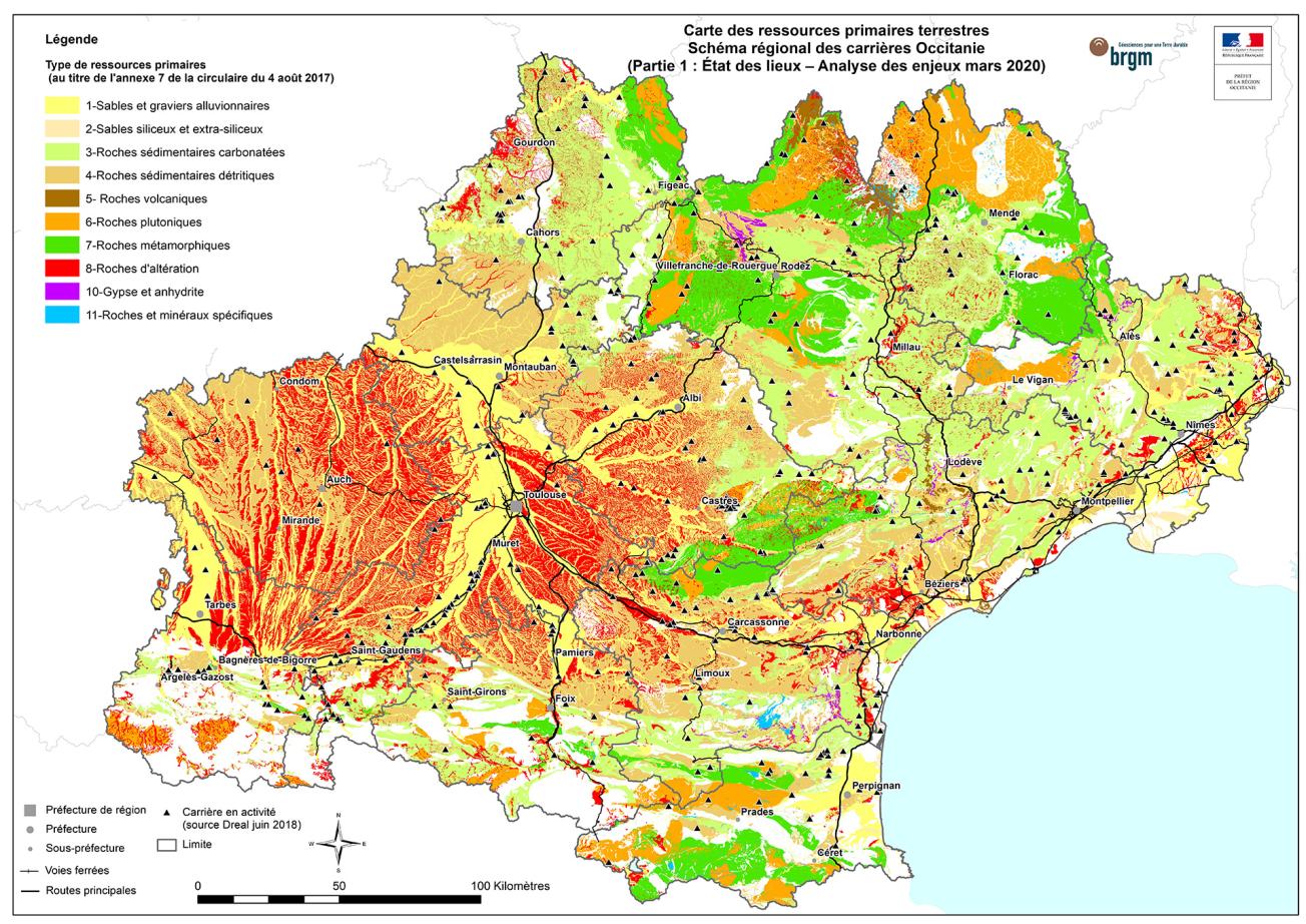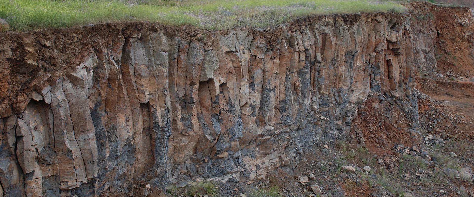
Map of primary resources in the Occitanie region.
© BRGM-DREAL
The need
Quarried material, or primary land-based mineral resources, refers to all known mineral resources of subsurface origin found in significant quantity and quality. An inventory of these resources in Occitanie was carried out when the new regional quarry master plans were drawn up. Indeed, Act No. 2014-366 of 24 March 2014 (known as the "ALUR" Act) brought about changes to the quarry master plans in order to increase their effectiveness, secure supply and effective access to deposits, and simplify the system. As a result, some deposits are now classified as deposits of national interest, and others as deposits of regional interest.
The results
The inventory of primary land-based mineral resources is based on the geological resources map, derived from geological maps harmonised at departmental level. Occitanie is covered by 13 harmonised departmental maps, which were drawn up between 2007 and 2018. Further harmonisation between the two former regions (Midi-Pyrénées and Languedoc-Roussillon) was then necessary. All the geological formations on the regional map were cross-referenced with quarries operating now or previously, in order to identify all the geological formations that are being mined or were mined in the past. Geological formations were classified into 11 major types of primary resource, which include the main rocks defined at national level (see Annex 7 of the circular on the implementation of SRCs issued by the Ministry of the Environment on 4 August 2017). These 11 major resource types correspond to the 61 geological resources identified in the region, depending on their lithology and sometimes their age.
The quarry inventory was carried out using the Quarries and Materials Database (CARMA) by BRGM, and the DREAL Occitanie's S3IC database on classified facilities (ICPEs). In 2018, these two databases listed 490 active quarries (number of ICPE authorisations) and 326 closed quarries.
BRGM also provided the DREAL's services with its expertise on the potential impact on groundwater of alluvial gravel quarries. This is because in an alluvial plain, the water table (piezometric surface) is generally close to the topographic surface (a few metres deep). When excavation takes place, this generates a wide range of disturbances in the alluvial groundwater and its interactions with the watercourse.
Using the results
The inventory of primary land-based resources and quarries will be an integral part of the Occitanie SRC. The information it contains is published and can be viewed on PictOccitanie, the inter-ministerial mapping portal. To ensure that environmental issues and the groundwater impact are taken into account in debates and in the priorities of the quarry master plan, BRGM has written a note summarising the available knowledge and setting out the potential hydrodynamic and physico-chemical impacts to be taken into account (this is also available on the PICTO website).
The partners
- DREAL Occitanie - Industrial Risks Directorate, Soil, Subsurface and Wind Turbines Department (DSSSE)
- Prefecture of the Occitanie Region
- UNICEM OCCITANIE
- And other members of the "Primary Resources" Technical Working Group


