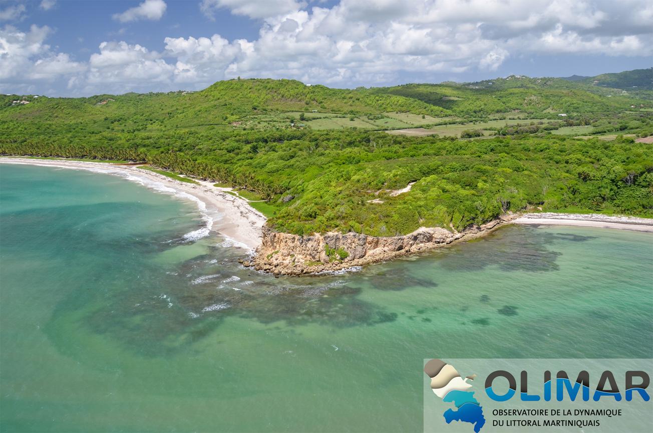
Grande Anse Macabou beach (Le Vauclin, 2013)
© BRGM
The need
The Martinican coastline, characterised by a wide variety of coastal typologies, totals a length of over 450 km and is exposed to heavy environmental and economic pressures. Against a backdrop of global warming and rising average sea levels, the management of populations and the various issues involved is of concern in planning terms. OLiMar therefore aims to monitor the evolution of beaches and coastal environments, from individual events to the multi-annual level, with the objective of accumulating useful information to adapt the area to climate change.

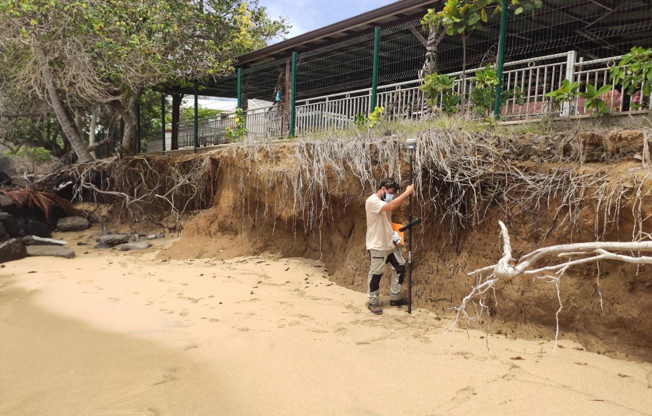
A technician collecting data in the field: Anse l'Etang, March 2020
© BRGM - Clément Bouvier
The results
In recent years it has been possible to acquire new knowledge and consolidate the network of actors thanks to a sustainable monitoring centre. The last five years of monitoring show a strong interannual dynamic, both in terms of beach profiles and the position of the coastline. Among the 15 sites monitored by the centre, 40% show significant rates of retreat of greater than 0.5 m/year. Seasonal morphological changes have also been identified on some beaches. Recent techniques, associated with video imagery, make it possible to monitor this dynamic over relatively long periods of time. These techniques now constitute an essential tool for monitoring and analysing coastline dynamics, the longer-term trends in which still need to be clarified.

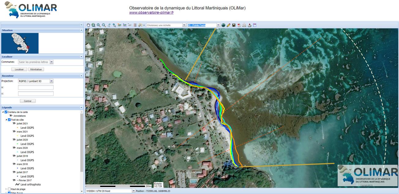
The monitoring centre has made the data collected available through the creation of an interactive map
© BRGM
Using the results
The monitoring centre, which is now part of the national network of coastline monitoring centres, has its own website. Among the various features offered, interactive mapping makes it possible to visualise the evolution of certain of Martinique's beaches. The data collected over the next few years will be accumulated, archived and formatted to supply the widely distributed platform.
The partners
- DEAL - The Martinique Department of the Environment, Planning and Housing.


