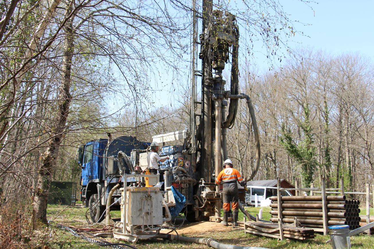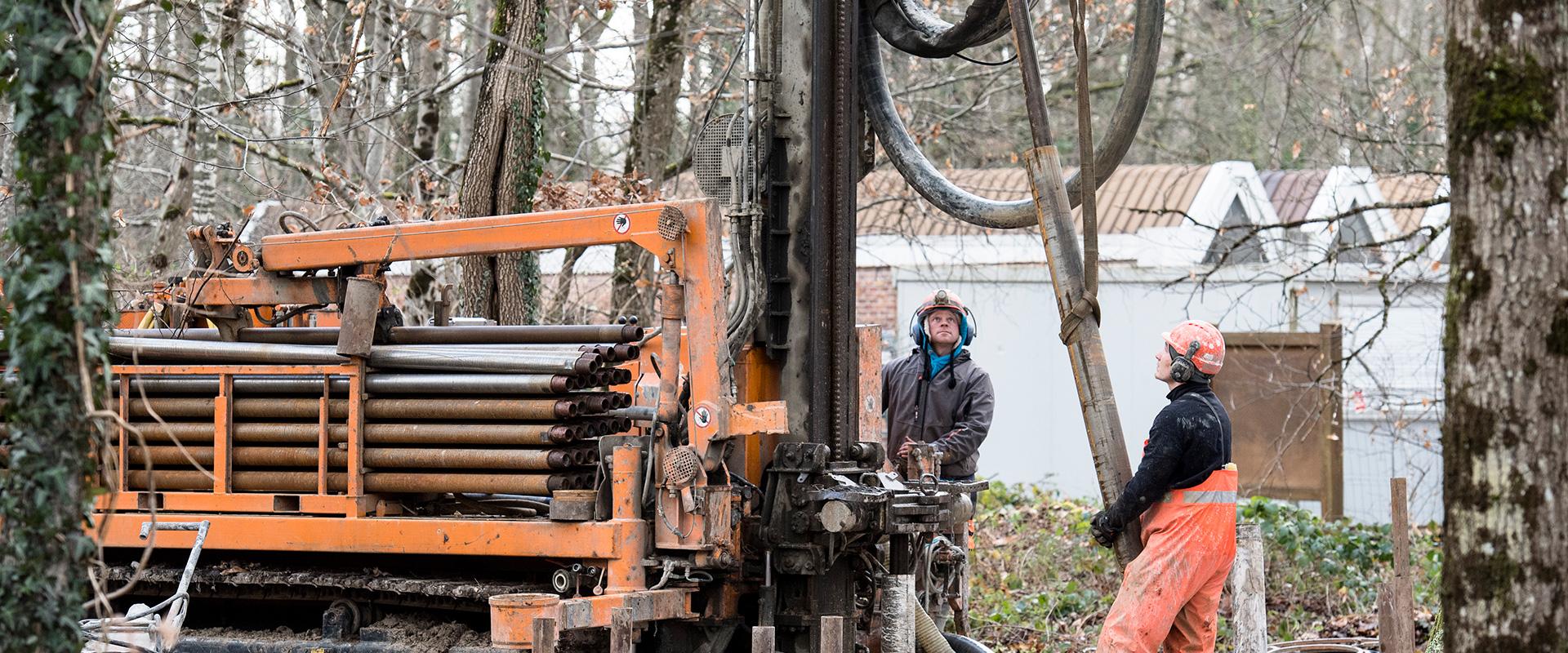
Geothermal borehole on the BRGM platform (Orléans, 2021).
© BRGM
The need
In order to achieve the objectives of the regional climate-air-energy plan (PCAET), the Horizon 2030-2050 plan and the Heating Network Master Plan (which aims to connect 65,000 additional homes to the existing heating networks), Orléans Métropole decided to promote the development of geothermal energy in the metropolitan area. With this in mind, BRGM was commissioned to assess the area's near-surface geothermal potential (in water tables and using probes) and deep geothermal potential (in the Dogger and Triassic aquifers) and to audit local geothermal operations that have encountered difficulties, in order to draw up a list of recommendations for the different stakeholders involved (project managers, design offices, drillers) so as to reduce the risk of failure for future operations.
The results
In terms of near-surface geothermal energy (0 to -200 m), the work involved drawing up a map of the development potential by combining several factors: the geothermal resources, the accessibility of the resources, surface uses and needs, the technological options, the regulatory, logistical and cadastral constraints and the related costs. The map makes it possible to identify the most relevant geothermal heat-exchange technology for a given plot or district, and to estimate the degree of needs coverage according to each type of geothermal system (probes and groundwater) over the entire metropolitan area.
The work on deep geothermal energy (1,000 to 1,500m deep) involved assessing the deep subsurface resources (Dogger and Triassic) and developing a 3D geological model of the Orléans metropolitan area, thus making it possible to estimate the geothermal potential of these two types of aquifers and identify potential drilling sites, in relation to the heating-network development plan and the needs. The identification process also included recommendations based on feedback from the failure of the Triassic aquifer borehole in Melleray in the 1980s.
Finally, feedback from local near-surface geothermal projects that experienced operating difficulties highlights that the problems were either due to errors during the installation (faulty connection of surface installations, use of a defective, old piezometer) or caused by clogging when operating. The analysis of these use cases enabled us to draw up a list of recommendations to be taken into account by project managers, design offices and drillers, so as to reduce clogging risks in the future.
Using the results
The maps produced will be included in the Atlas Multi-ENR (map of multiple renewable energy sources) drawn up by Orléans Métropole (Action 7 of the 2019-2025 Action Plan) and made available to the general public.
The partners
- Orléans Métropole
Public reports
-
Study of the deep geothermal energy potential in the Orléans metropolitan area - Part 1: resource access conditions (Dogger model in the Ile-de-France region) and feedback on Triassic aquifer operations. Final report.
-
Map of near-surface geothermal potential in the Orléans metropolitan area - Final report
-
Study of the deep geothermal energy potential in the Orléans metropolitan area - Part 2: production of a 3D geological model of the Dogger and Triassic aquifers and assessment of the geothermal potential - Final report


