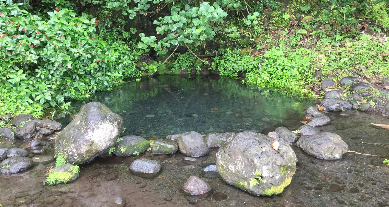
Vaima spring (Tahiti, 2017).
© BRGM
The need
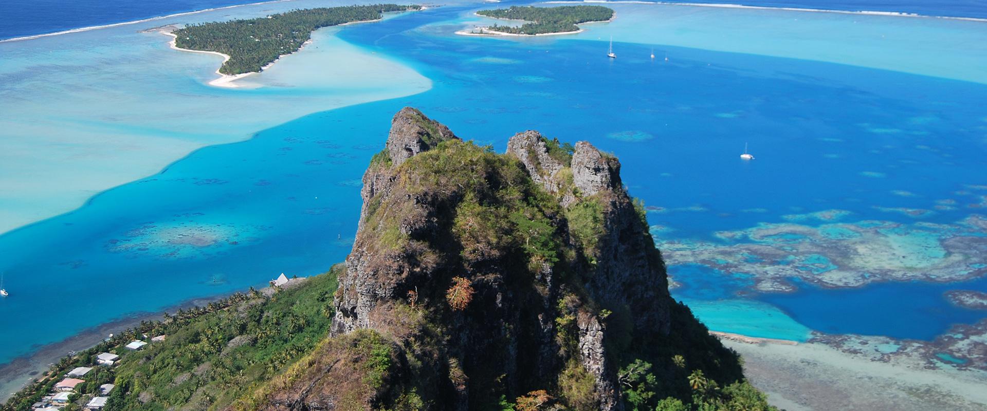
In French Polynesia, groundwater is extensively used, but its availability varies according to the topology of the islands. Abundant on the islands with high elevation, the resources are limited to a more or less brackish water layer on the atolls. Furthermore, insularity makes these resources vulnerable and pressures are also increasing due to growing needs. In order to offer French Polynesia sustainable development conditions that respect these resources, BRGM has undertaken a complete programme, including hydrogeology, development of an information system and water conservation.
The results
Detailed hydrogeological investigations on an island with high elevation, an island with mixed topology, and an atoll, carried out in Tahiti (on two catchment areas), Moorea, Ua Pou and Rangiroa have made it possible to propose solutions for securing the drinking water supply of four of the five areas studied. The municipalities concerned therefore now have the necessary knowledge to undertake operational research.
In terms of regulations, BRGM participated in the process of revising the procedure for occupying the public river domain, issued recommendations on integrated resource management after studying the situation in several countries in the Pacific zone, and assessed the financial impact of the generalisation of a water abstraction fee.
Through training sessions, the programme also contributed to the transfer of external knowledge adapted to local realities. The sessions dedicated to the digital tools implemented (water point repository and VAITEA internet portal) have notably enabled the relevant authorities in French Polynesia and the municipalities to acquire the skills needed to enrich and animate them.
In the short term, these management and communication tools should contribute to the emergence and structuring of a “groundwater” community and, ultimately, make a significant contribution to defining and implementing Water Policy in French Polynesia.

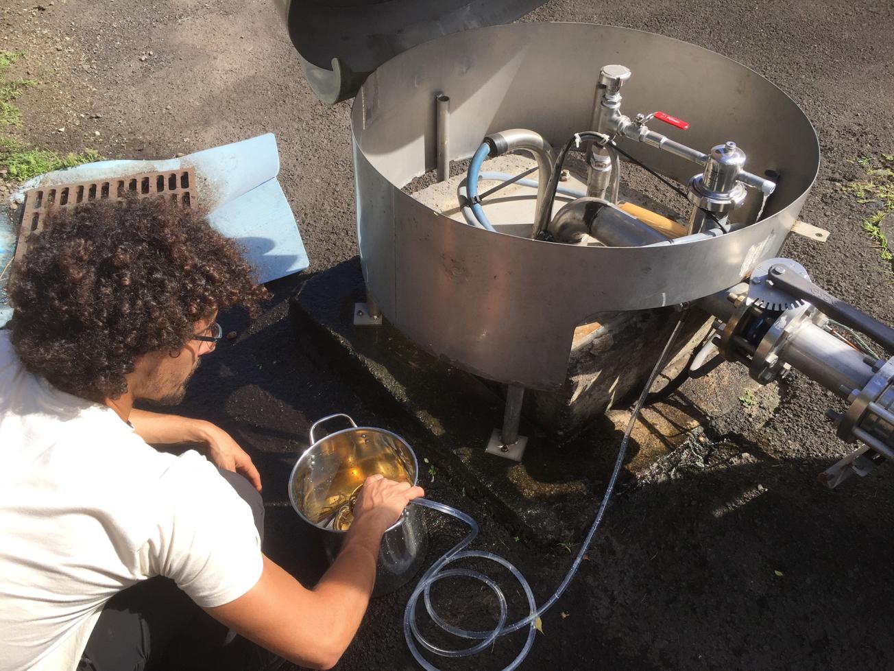
Sampling for CFCs in groundwater in the Punaruu Valley (Tahiti, 2018).
© BRGM
Using the results
The multidisciplinary approaches implemented in this programme have proven to be robust and could be replicated for the study of new islands. The use of modern, airborne, geophysical investigation techniques is also recommended if French Polynesia wishes to engage in larger scale reconnaissance.
The partners
- Ministère de la Culture et de l’Environnement (MCE)
Public reports
-
Assessment of the knowledge on volcanism and hydrogeology of hot spots and inventory of methods of exploration and exploitation of groundwater resources - Final report
-
Inventory of existing data on islands in French Polynesia - Final report
-
Typology of Polynesian Islands - Final Report
-
Regulatory and governance tools for water. Analysis of the situation in French Polynesia. Final report
-
Report on the tools envisaged - implementation of the “water points” repository and the VAITEA portal - Final report
-
Report describing the structure of the information systems set up and how they operate - Final report
-
Survey on groundwater use for water supply in French Polynesia
-
Implementation of a piezometric network and a quality control network on the island of Tahiti - Final report
-
Water catchment in French Polynesia: from declaration to abstraction - Final report
-
Report on the investigations carried out in Rangiroa - Final report
-
Report on the investigations carried out in Tahiti - Final report
-
Report on the investigations carried out in Moorea - Final report
-
Report on the investigations carried out in Ua Pou - Final report
-
Actions completed and planned for the first year
-
Review of actions in the first half of 2018
-
Review of the period July to October 2018
-
Review of the period November to December 2018
-
Review of actions in the first half of 2019
-
Review of the second half of 2019
-
Review of actions in the first half of 2020
-
Final synthesis report


