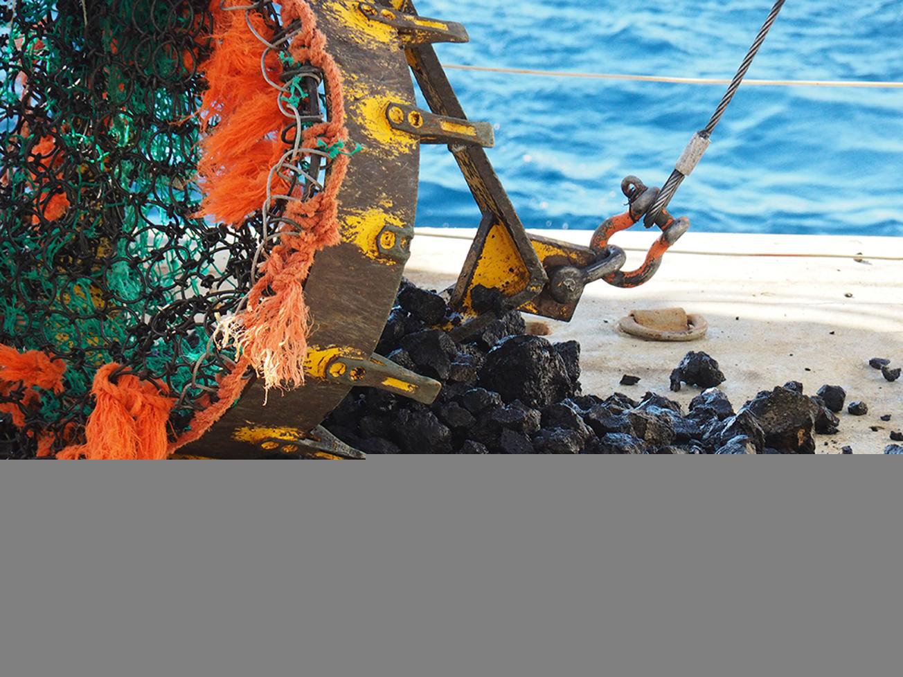
Rocks dredged on the new volcano (Mayotte, juin 2019).
© BRGM - Anne Lemoine
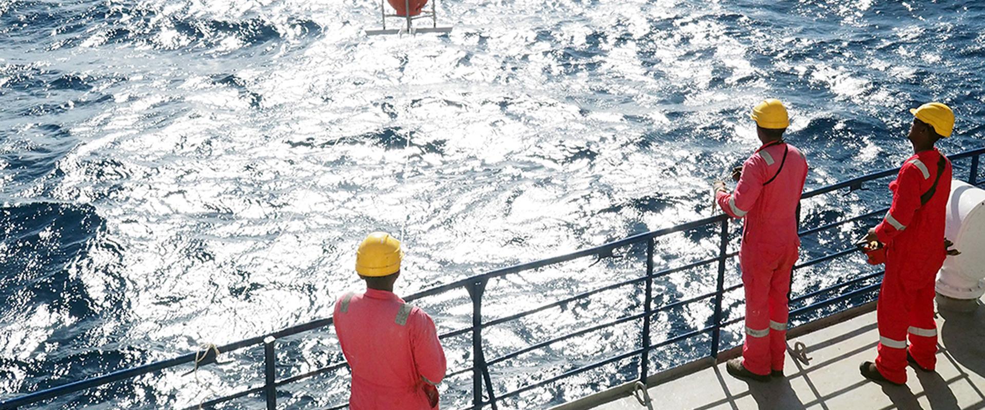
As part of the research programme carried out in Mayotte to understand the origin of the earthquakes that have affected the island since May 2018, BRGM participated in the new MAYOBS3 and MAYOBS4 oceanographic campaigns that took place in July 2019.
These observation campaigns focused on the nascent underwater volcano discovered in May 2019, 50 km from the island of Mayotte and at a depth of 3,500 m. The discovery of this new underwater volcano has improved our understanding of the earthquakes detected over the past year.
Mapping the volcano ridge
The "MAYOBS3" and "MAYOBS4" campaigns mapped the volcanic ridge between the active volcano (about 50 km from the island) and the seismic zone (about 15 km from the island). Seismic activity has decreased. The earthquakes are deep (20 to 50 km). Deep earthquakes have also been located between the main seismic zone (15 km from the island) and the island. Though they had been detected since the beginning, they had not been located during previous missions due to their low magnitude (between 1 and 3).
A new lava flow identified
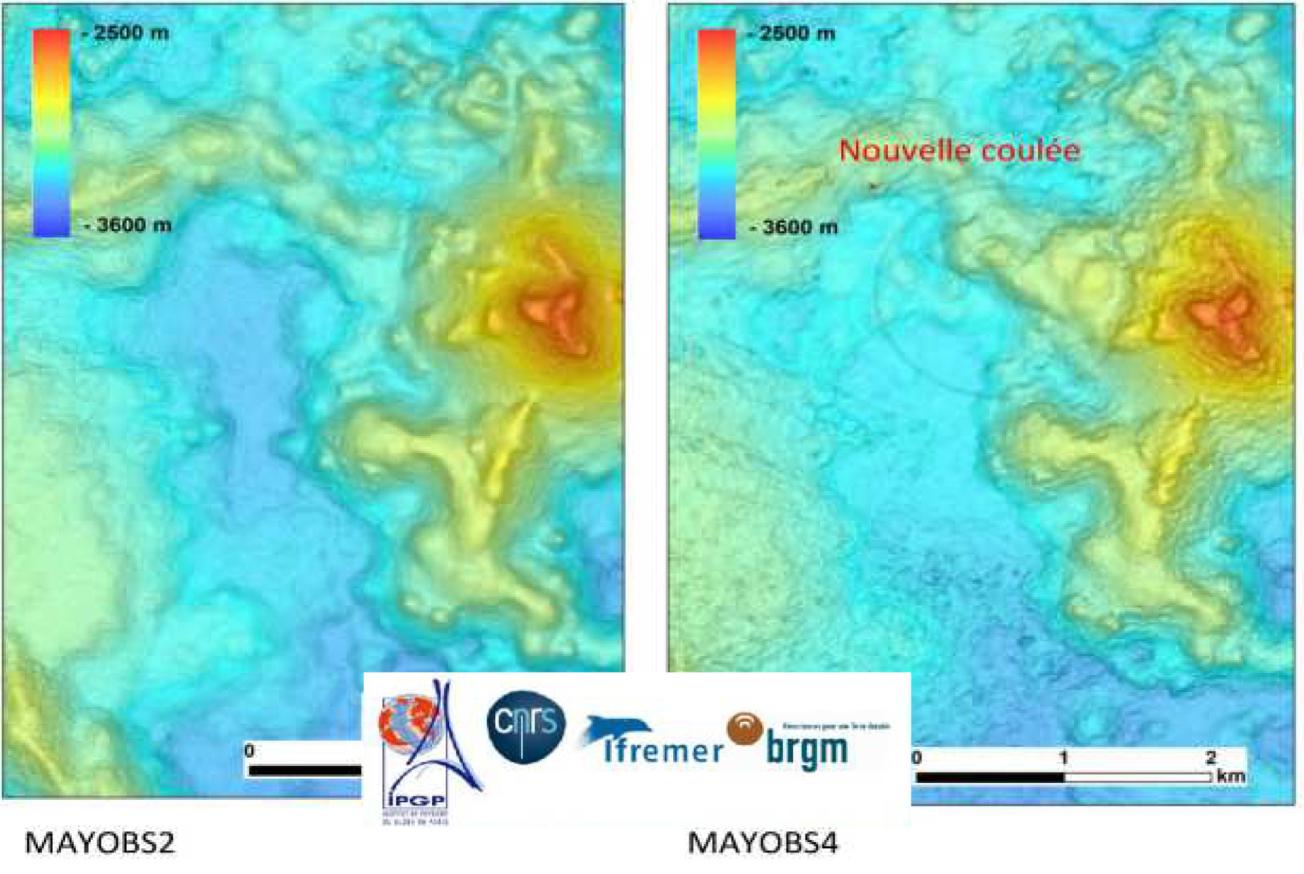
The data collected confirm that the height of the volcano has not changed (its peak is at a depth of 2,850 meters). On the other hand, since June, a new lava flow has been identified on the western flank of the underwater volcano. It is more than 150 metres thick. Its estimated volume is 0.3 km3.

Bathymetric data recorded during the MAYOBS2 and MAYOBS4 campaigns. The new lava flow can be seen in the image on the right.
© Équipe MAYOBS4
The "MAYOBS3" and "MAYOBS4" campaigns also detected fluid emissions and volcanic plumes. These plumes do not reach the surface. Those at the top of the new volcano, detected in May and June, no longer exist, while other smaller ones have been detected on the new flow.
The first pictures of the sea bottom
Two scampi dives (camera near the sea floor) were carried out to observe the volcano. They show pillow lava and lava ropes that are typical of more fluid lava. Samples from fluids were collected from the plumes and are still being analysed.
Rock samples taken from recent flows
Rock samples were taken from recent flows using four dredges.
The MAYOBS campaigns have thus collected a wealth of data. The scientific teams will continue to analyse the data on land to better understand the potential risks associated with these seismic and volcanic phenomena.

Pillow lava (on the left) and lava ropes (on the right). Photo of the new lava flow taken by the Scampi deep-sea camera.
© Équipe MAYOBS4


