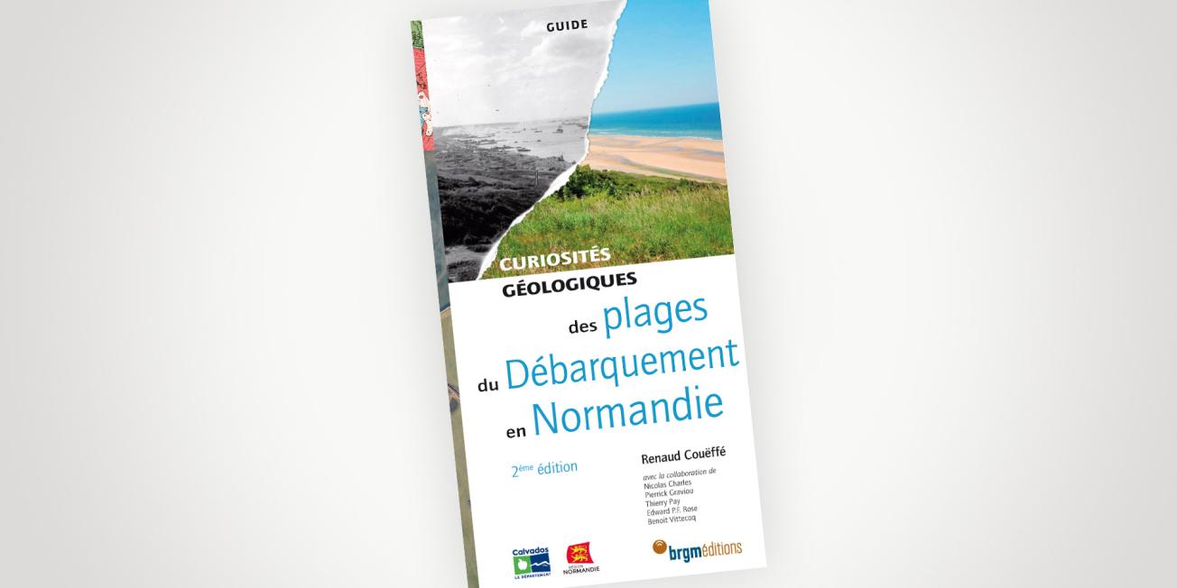
Cover of the guide to the Geological Curiosities of Normandy’s D-Day Landings beaches.
© BRGM
Geologists played an important but so far little-known role in preparing the Normandy Landings and in the D-Day assault on 6 June 1944. From the operation's inception, specialist teams were formed within the Allied armies to take part in discussions on strategy. Their mission was to produce maps to assist the army Chiefs-of-Staff in drawing up the battle plan, deciding where to position field aerodromes and artificial harbours and selecting the best sites to use for water and materials supplies.
The authors also describe how geologists helped the Allied armies to avoid natural pitfalls, for which they had to undertake secret and dangerous missions in the field.
Linking geological landscapes to historical events
Twenty six sites with features of outstanding interest are presented from the geologist’s point of view. These are emblematic D-Day landing sites, which had been studied beforehand to ensure that the operation would be feasible. The guide also looks at the connections between people and geology during the 1944 events, such as the role of the underground quarries that were used as air raid shelters and even hospitals during the Allied bombing campaigns.
This guide, written by geologists with specialist skills in science mediation, makes an excellent contribution to the promotion and preservation of Normandy’s geological heritage.
- Renaud COUËFFÉ, a BRGM geologist and a native of Caen in Normandy, has been familiar since childhood with Normandy’s coastline and the historic D-Day landing sites along its beaches.
- In collaboration with: Nicolas CHARLES and Pierrick GRAVIOU, both BRGM geologists, Thierry PAY, director for water and research with the Calvados département Council, Edward P.F ROSE, who has written numerous books on applied geology and hydrogeology for military purposes, and Benoit VITTECOQ, the director of the BRGM agency for Lower Normandy.
This guide is one of the publications in the “Geological Curiosities” collection from BRGM Editions, which now comprises 24 titles.
Guide to the Geological Curiosities of Normandy’s D-Day Landings beaches
Readers of the guide will see why the Allies chose the sandy beaches of the Calvados and Manche areas rather than those around Calais. They will find out that the logistics planning for one of the largest military operations ever undertaken paid particular attention to the geology of the area, for landings of equipment on the beaches, for supplies of water for the troops and for building airfields and roads. Finally, they will realise how geology directly influenced the way the military operations unfolded, for example in the decisive battle that took place when the German army was encircled in the Falaise Gap.
The D-Day landings and the battle of Normandy are now part of human history. But geological history is still unfolding, gradually obliterating the traces of the events of 1944 with each passing day. The guide also addresses the question of what will happen to the traces that remain of this tumultuous episode in Normandy's history.


