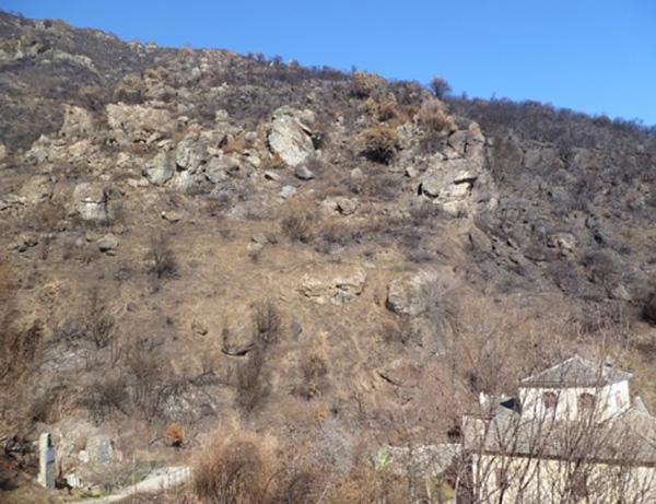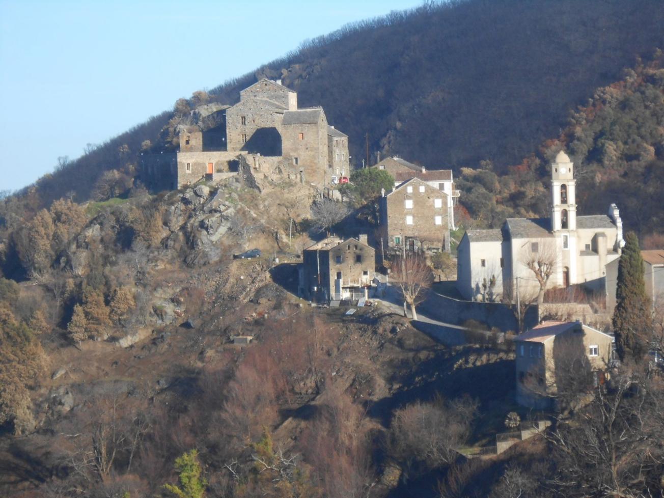
Wildfire damage around the village of Chiatra.
© BRGM
In January 2018, northern Corsica experienced severe forest fires that destroyed about 500 ha of vegetation in the Chiatra area and 1300 ha around Sant'Andrea di Cotone. On a request from the Prefect of Northern Corsica, the département authority for inland and marine areas (DDTM 2B) commissioned the BRGM for an assessment of the impacts of these wildfires on natural soil erosion and ground movement risks.
Natural risks are increased by the loss of vegetation
In sectors already exposed to ground movement risks, wildfires can create an additional hazard, especially during heavy rainfall, because of the loss of plant cover. Wildfires can worsen the risks of soil erosion, gullying, mudslides, rockfalls and landslides.
The areas that were affected by these wildfires are sparsely populated but damage was caused to both people (villages, hamlets and housing downstream from the fires) and infrastructure (roads, hydraulic structures).
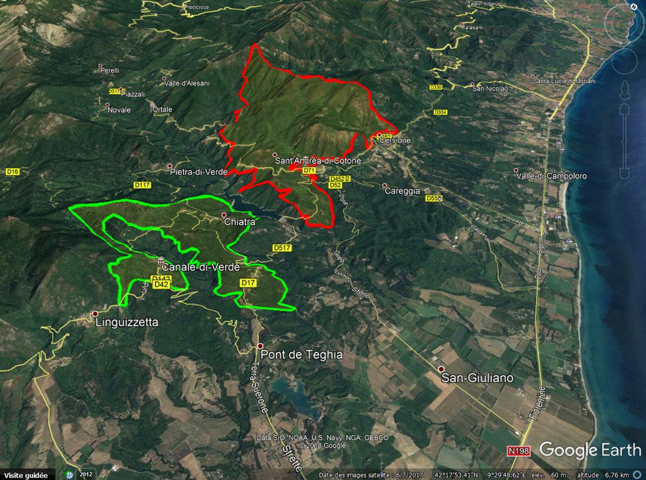
Geographical extent of the wildfires (data from SDIS 2B on Google Earth background).
© BRGM
Mapping and proposals for risk management
As well as its geotechnical diagnoses of the sites, the BRGM worked with Northern Corsica's fire service (SDIS 2B) to improve the characterisation of forest fires in terms of their impacts on soils and vegetation (REX feux). To identify sensitive sectors, the BRGM drew on expert studies of the sites affected and on interviews with municipal representatives and inhabitants. Technical sheets were produced, describing the zones concerned and the latent and observed phenomena, assessing the risk, especially at times of heavy rainfall, and setting out risk management recommendations. Maps locating critical zones were also produced.
24 sensitive points were listed for the Chiatra zone and 32 for Sant’Andrea di Cotone, two of which are given high priority in a sector which is prone to ground movements (rockfalls) liable to damage houses and road n° 71.
Taking wildfires into account in the prevention of ground movement and flood risks
These studies, like those conducted in 2017 by the BRGM on the summer 2017 wildfires in Northern Corsica, illustrate the importance of taking wildfires into consideration in the prevention of both ground movement and flooding risks. In a context where climate change is increasingly liable to trigger forest fires followed by heavy rainfall, there is an urgent need to develop new tools to improve overall risk management in multi-risk situations, which frequently arise around the Mediterranean.

