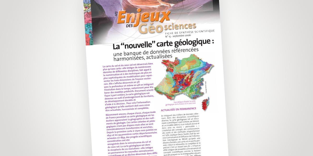
Cover of the thematic file.
© BRGM
Constantly updated
The geological map incorporates thousands of data obtained from various scientific disciplines, and is therefore a scientific document in its own right, including field data and a model obtained at a given moment, so it may only be valid for a limited period.
One of BRGM's major projects carried out on behalf of the French government has involved the production of 1,060 geological maps covering France at a scale of 1:50,000. However, many other geological maps are several decades old and some have already been revised in line with advances in geological knowledge and concepts. Around two hundred more will need to be revised in the short to medium term.
The current programme moreover involves harmonising the geological information contained in the different maps so that they are completely consistent and without any borders. We also work with our European neighbours to harmonise geological data beyond the borders of mainland France.


