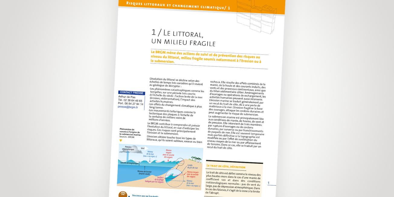
Cover of the thematic file.
© BRGM
The coastline, a fragile environment
Changes in the coastline occur over highly variable time scales that geologists have to understand and anticipate, for example:
- natural catastrophes, such as storms, that occur over very short time scales,
- the slow action of the sea (erosion and sedimentation) and the impact of human activities over the course of centuries,
- the longer-term effects of climate change,
- telluric movements, such as plate tectonics, that occur over hundreds of thousands or even millions of years.
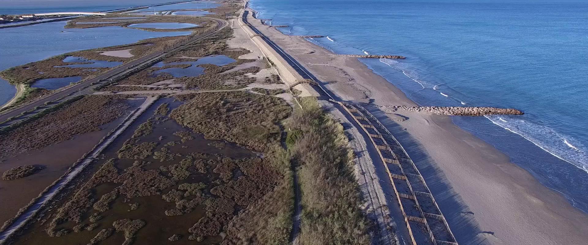
BRGM contributes to understanding and predicting changes to the coastline, with a view to anticipating risks. Coastal erosion and flooding are the primary risks.
Close monitoring of the French coasts
BRGM carries out several operations to monitor the coastline and manages several observatories, notably in Aquitaine, Vendée, Corsica, Languedoc-Roussillon and in the French Overseas Territories.
Increasing risks due to climate change
Current observations show that the rise in sea level is accelerating due to climate change. Since 1870, sea level has risen by 20 cm globally. Whereas sea level rose by 1.7 mm a year in the 20th century, the rate is now estimated at 3.2 mm a year. Consequently, by 2100, forecasts estimate that sea level will probably rise by between 50 cm and 1 metre.
The impact of such a rise in sea level will be felt in terms of both coastal erosion and the risk of flooding in low-lying and coastal areas.


