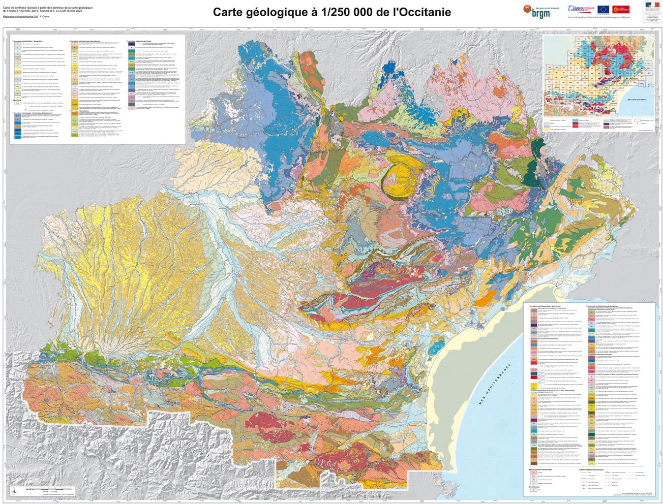
The ALARIC project, co-financed by the European Regional Development Fund (ERDF) and the National Fund for Territorial Planning and Development (FNADT), has produced a digital geological map of the Occitania region on the scale of 1:250,000.
15 November 2023
Geological map of Occitania
A single legend for the whole region
Producing the map requires the creation of a single legend for the region, with 155 geological formations, from existing mapping documents.
To improve consistency on the scale of the map, it was also necessary to redraw its outlines.
The structural data have been synthesised to select, name and characterise about a hundred major faults from among the many faults in Occitania.
When finalised, the map will comprise 6 layers of geo-referenced indissociable vectors:
- S_FGEOL: polygons representing geological formations
- L_FGEOL: linear features representing seams
- P_FGEOL: points indicating the presence of a remarkable geological formation
- C_FGEOL: outlines of geological formations
- S_SURCH: superimposition of S_FGEOL polygons to supplement the lithological data
- L_STRUCT: linear features representing faults
The data and metadata used in creating the map comply with the Inspire Directive.

1:250,000 geological map of the Occitania Region.
© BRGM
A free digital map
The 1:250,000 scale regional geological map of Occitania is available on:
- The BRGM InfoTerre website
- the interministerial cartographic portal PICTO-Occitania
- the regional GIS platform Open-ig


