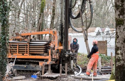
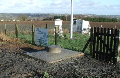
La rivière des Jonquilles, Corrèze
Change the text size
Website accessibility
  • fr
  • en
La rivière des Jonquilles, Corrèze
InfoTerre
The portal for access to BRGM geoscientific data
BRGM Job offers
Join the French geological survey
Annual report
BRGM's highlights and key results.
BRGM History
History of the BRGM, the French geological survey
Operational post-mining
Mine safety and risk prevention
Other websites
  • RGF - French Geological Reference Platform
  • ADES - Groundwater data access portal
  • Géorisques - A portal to better understand the risks in France
  • Géothermies - All about geothermal energy
  • Minéralinfo - The French portal for non-energy mineral resources
  • BRGM Training - Continuing professional training
  • HAL-BRGM - BRGM's scientific publications
All websites
BRGM logo with the French Republic logo
French
geological
survey
La rivière des Jonquilles, Corrèze
  • Public partner, local government
    Public partners: BRGM at your side
    Expert studies
    Our solutions
    French regional network
    References and projects
    Public reports
    Scientific publications
    Websites, apps and databases
    Contacts
  • Company
    Working with the BRGM, a guide
    Innovation and transfers
    Our solutions
    References and projects
    Laboratories and technological platforms
    Continuing professional training
    Websites, apps and databases
    Becoming a BRGM supplier
    Contacts
  • Researcher
    Scientific research
    Public reports
    Scientific publications
    References and projects
    Laboratories and technological platforms
    Websites, apps and databases
    Books and geological maps
    Continuing professional training
    Doctorates and post-doctorates
  • Student
    Higher education
    Jobs and careers
    Doctorates and post-doctorates
    Work-study contracts and internships
    Websites, apps and databases
    Books and geological maps
    Public reports
    Scientific publications
    News
  • Teacher, pupil
    Discovering the Earth Sciences
    Lumni Enseignement, BRGM's educational resources
    Higher education
    Websites, apps and databases
    Books and geological maps
    Public reports
    Scientific publications
    News
  • Journalist
    News and press releases
    Events
    References and projects
    Public reports
    The BRGM at a glance
    Newsletter
    Press desk
  • Citizen's group, citizen
    News
    Events
    Jobs and careers
    The BRGM at a glance
    French regional network
    Discovering the Earth Sciences
    Undertakings
    Newsletter
    Results and data
La rivière des Jonquilles, Corrèze
  • Challenges
    Challenges
    • Geology and knowledge of the subsurface
    • Groundwater management
    • Risks and spatial planning
    • Mineral resources and the circular economy
    • Subsurface potential for the energy transition
    • Digital data, services and infrastructure
  • Activities
    Activities
    • Scientific research
    • Expert studies
    • Innovation and transfers
    • Analysis and experimentation
    • Mine safety and risk prevention
    • Higher education
    • Continuing professional training
    • Knowledge dissemination and open science
  • Becoming a partner or client
    Becoming a partner or client
    • Companies: working with the BRGM, a guide
    • Public partners: BRGM at your side
    • Our solutions
    • Laboratories and technological platforms
    • Becoming a BRGM supplier
  • Identity
    Identity
    • The BRGM at a glance
    • Strategy
    • Governance
    • History
    • Undertakings
    • Subsidiaries and holdings
  • Results and data
    Results and data
    • References and projects
    • Public reports
    • Scientific publications
    • Software
    • Websites, apps and databases
  • In France and worldwide
    In France and worldwide
    • French regional network
    • Europe
    • International
  • News
  • Events
  • Educational area
  • State of groundwater
  • Jobs and careers
  • BRGM Publications
  • Newsletter
  • Contacts
Seismic station on the Maïdo rampart, Reunion Island
Breadcrumb
  • Home
  • Becoming a partner or client
  • Our solutions

Our solutions

All the solutions offered of BRGM, the French geological survey, to meet the challenges of the subsurface.
Reset
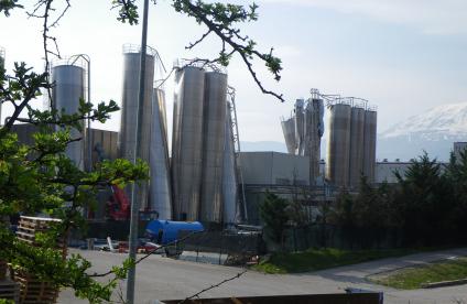
View of the buckling damage to silos in Bazzano
Our solutions
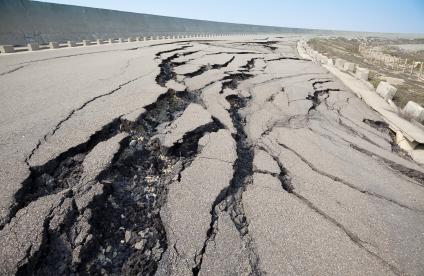
Earthquakes and vulnerable sites 
BRGM mobilises its expertise in earthquake risk prevention to help protect industrial sites and dams. It assists project contractors and operators by helping them anticipate risks, comply with regulatory requirements and draw up business continuity plans.
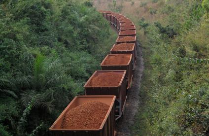
Wagons carrying bauxite ore, Guinea
Our solutions
Environmental analysis of mineral resource procurement
BRGM is able to measure the environmental impacts linked to the supply of mineral raw materials. In this respect, through a better understanding of the flow of materials along value chains, BRGM helps economic players to reduce their environmental impact.
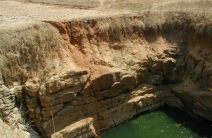
Photo of an open well
Our solutions
Exploration and management of groundwater resources in the bedrock
Although they are found in the subsurface of many regions around the world, bedrock aquifers (in granite, schist, gneiss bedrock, etc.) have long been considered as not particularly productive, and very complex to study. BRGM has developed new methods and techniques in order to find, manage and protect groundwater resources more effectively in these environments.
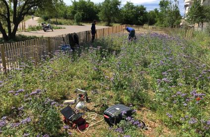
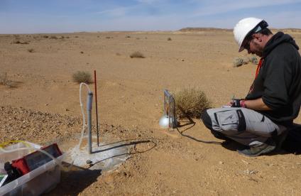
Soil measurement campaign
Our solutions
Management of wasteland: nature-based solutions
BRGM can help you choose, implement and monitor nature-based solutions for the sustainable management and redevelopment of your wasteland sites where polluting activities have taken place.
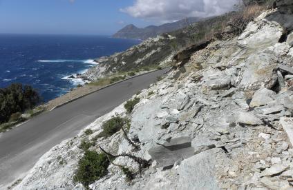
Affleurement de métagabbros à smaragdite recoupés par des veines à trémolite-amiante (Haute-Corse, 2013).
Our solutions
Mapping the possible presence of asbestos in the natural environment
As a project owner or contractor, you might need to know whether the rocks and soil in a given area are likely to contain asbestos fibres. BRGM can provide support at every stage of your project, from the preliminary study through to the creation of detailed maps, including field surveys, sample collection and laboratory analysis.
BRGM piezometer, Brittany
Our solutions
MétéEAU Nappes, a tool for the real-time monitoring and forecasting of groundwater levels
Are you a public authority or organisation involved in managing water resources? Would you like to know the current state of the water table levels in your region and be able to establish reliable forecasts? BRGM's MétéEAU Nappes tool enables you to consult the status of your water resources and facilities in real time and thus to put in place an effective water-resource management and protection plan.
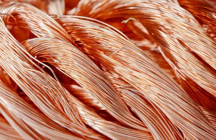
Twisted copper wires
Our solutions
Mineral intelligence and criticality of raw materials
BRGM can assist you in analysing the mineral raw material markets and the specific risks associated with your economic activities, against a backdrop of increasing pressure on resources.
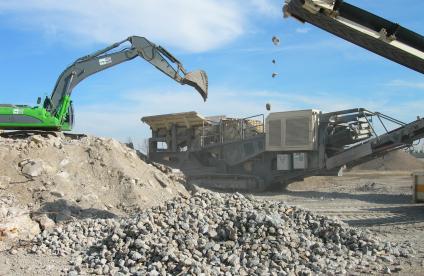
A mobile plant for crushing demolition concrete for recycling
Our solutions
Modelling the impact of construction waste reuse on groundwater
Are you interested in developing the reuse of mineral waste from construction sites for your spatial planning projects, but would like to know more about the impact of such practices on groundwater? BRGM has the modelling tools required to answer such questions.
Environmental monitoring above a CO2 storage site
Our solutions
Monitoring of CO2 geological storage sites
If you want to monitor it during the operational phase of an underground CO2 storage facility, then BRGM offers you its geophysical and geochemical services applied to the field of land-based underground storage.
Nickel-bearing saprolite
Our solutions
Predictive mapping for mineral resource assessment and prospecting
BRGM offers you its expertise in mineral resource mapping and predictive assessment. In order to target the zones where deposits of the minerals you require are likely to be found, BRGM offers its expertise in mapping and predictive assessment.
ReunEM heliborne geophysics campaign, Reunion Island
Our solutions
Prospecting for rock materials by airborne geophysical remote sensing
If you wish to identify and evaluate underground resources for your raw material supplies, BRGM offers you its airborne geophysical services to facilitate prospecting for favourable deposits.
Industrial wasteland
Our solutions
Rainwater infiltration beneath former industrial sites and contaminated wasteland
BRGM is offering its support to project developers by providing tailored solutions for controlled rainwater infiltration beneath former industrial sites and contaminated wasteland to prevent groundwater degradation.

Pagination

  • First page
  • Previous page
  • Page 1
  • Current page 2
  • Page 3
  • Next page
  • Last page
3D scan of an underground cavity as part of a stability diagnosis
Newsletter
Subscribe to the newsletter
Contacts and access
Contacts
Press desk
Access maps
Follow us
  • Accessibility
  • Legal information - Credits
  • Personal data protection
  • Cookie management
  • Access to administrative documents
  • RSS feeds
BRGM logo with the French Republic logo
Logo Certification ISO 9001 et 14001 Logo EuroGeoSurveys Logo AllEnvi
BRGM - 3 avenue Claude-Guillemin - BP 36009 45060 Orléans Cedex 2 - France - Tel.: +33 (0)2 38 64 34 34
Newsletter

Subscribe to our newsletter and receive our news every month!